One of the National Trust’s volunteer Heritage Rangers contacted me. He queried an entry on our public database….National Trust Heritage Records Online (try it!) .
‘Martin, what date are the flints found at Francis Court Farm’ ? I googled the site and there were no clues in the text so I contacted Isabel.
‘Oh dear you have reminded me of an unfinished piece of work’ she said ‘I have lots of bags of finds together with distribution maps of the Killerton Estate fields at home. The archaeology volunteers walked the arable fields in 1990 to 1992 and I have never found time to put everything together’
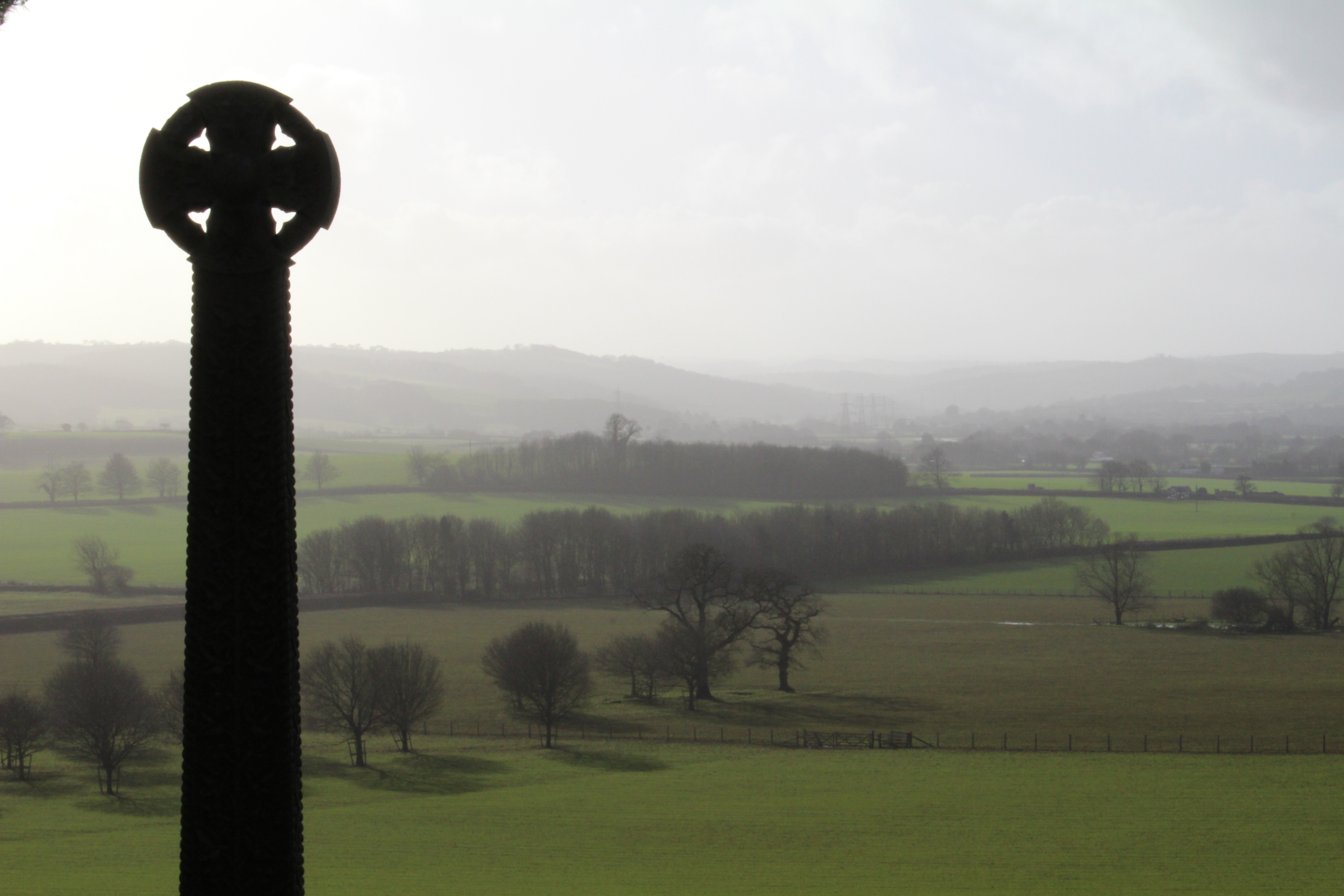
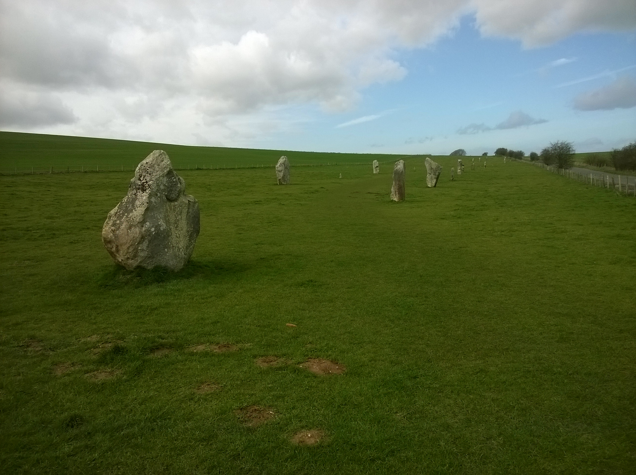
The view west of the memorial cross across the farmland of the Killerton Estate from Killerton Park
We arranged a meeting and she promised to sort the archive and bring the finds….
I had driven from Wiltshire to Killerton two days in a row. Unusual. Yesterday had been a Knightshayes meeting at the Regional Office but today I was seeing Isabel who had prepared the boxes of finds for me.
Yesterday, I had headed for the M5 junction at Taunton and ground myself into a massive tailback…today I would try a different approach. The plan was to cruise west along the mighty A303 until Honiton and then strike into the Devon heartlands.
But Devon’s a foreign country…it’s beyond Wessex.. and I was being over confident. A sign directed me to Collumpton and then the waymarkers abandoned me.
Lost on the outskirts of town, I tried various narrow roads. Half an hour later I retraced my steps and realised that I should have headed towards Sidmouth then jinked onto Honiton High Street.
I almost missed the side turning beside the traffic lights …but at last… I had ducked under the A303 and was heading for Killerton behind a very slow truck.
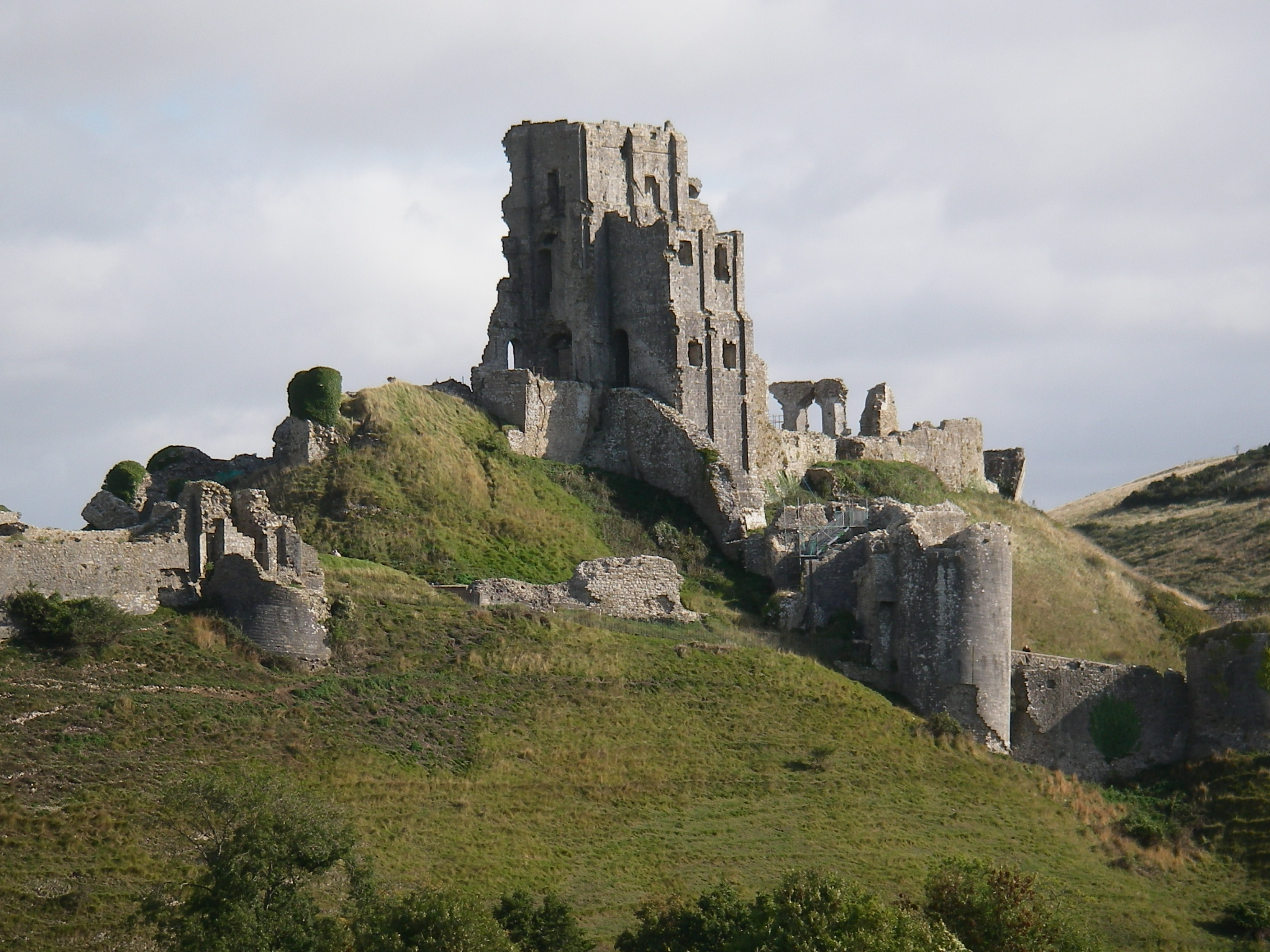
I passed under famous Hembury hill… Neolithic causewayed enclosure, Iron Age hillfort and Roman fort superimposed.
From Collumpton it was a short distance to the National Trust’s Killerton Estate.
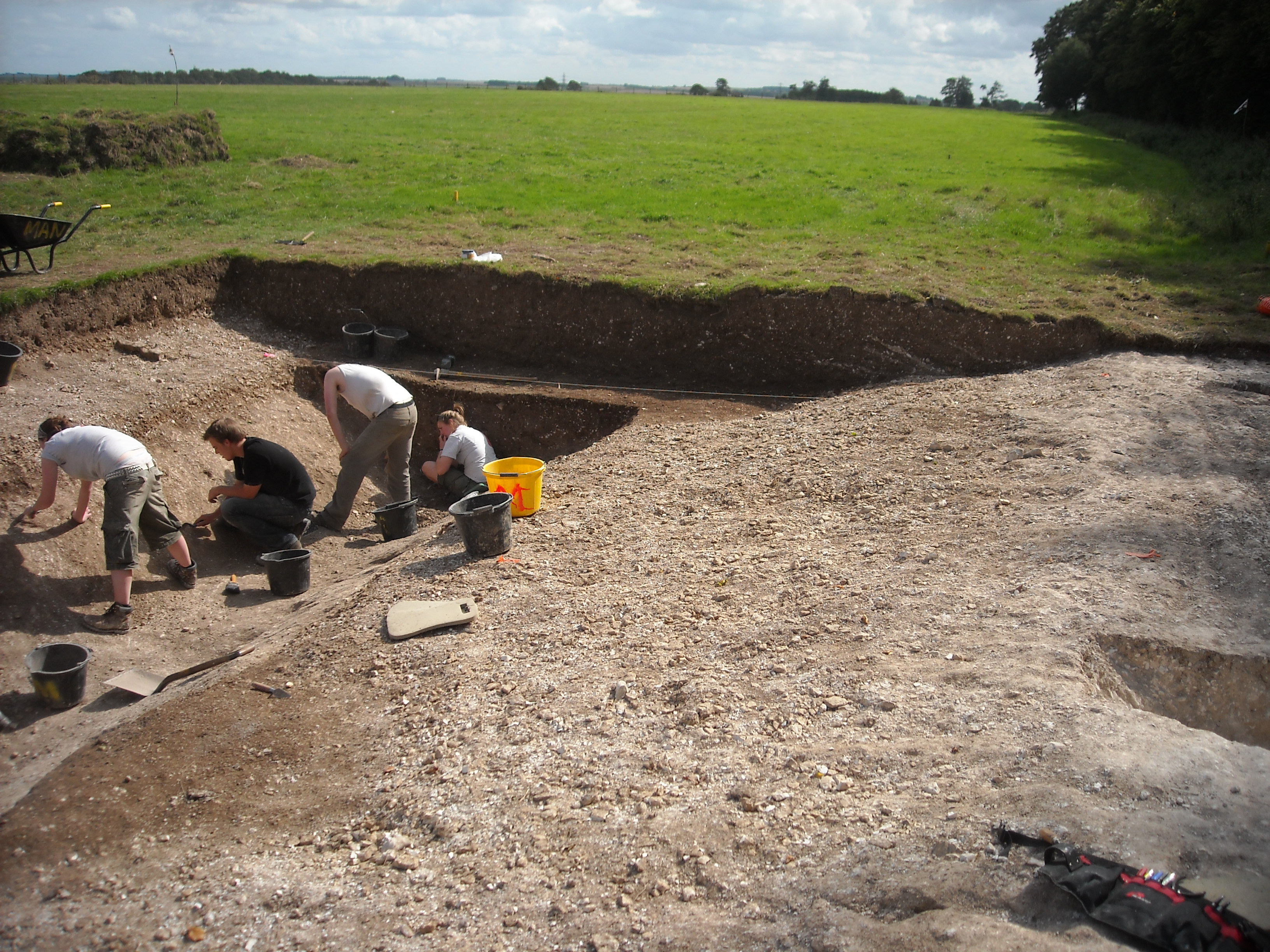
I met Isabel in the car park and we carried the trays of finds into the meeting room. Bryn, Fi and Phil joined us and we immersed ourselves in Devon Archaeology.
![WP_20190506_006[1]](https://archaeologynationaltrustsw.files.wordpress.com/2019/05/wp_20190506_0061.jpg)
Early Bronze Age barbed and tanged arrowhead from Yarde Farm, Killerton Estate
Archaeology is very regional. Pottery, particularly prehistoric, and to a lesser extent Roman pottery changes significantly as you head west. In fact, finds are more scarce it seems and this is not classic flint country. I had no great expectations of Isabel’s flint.
Though… what would I know… Devon is a foreign land… Wessex archaeologists beware.
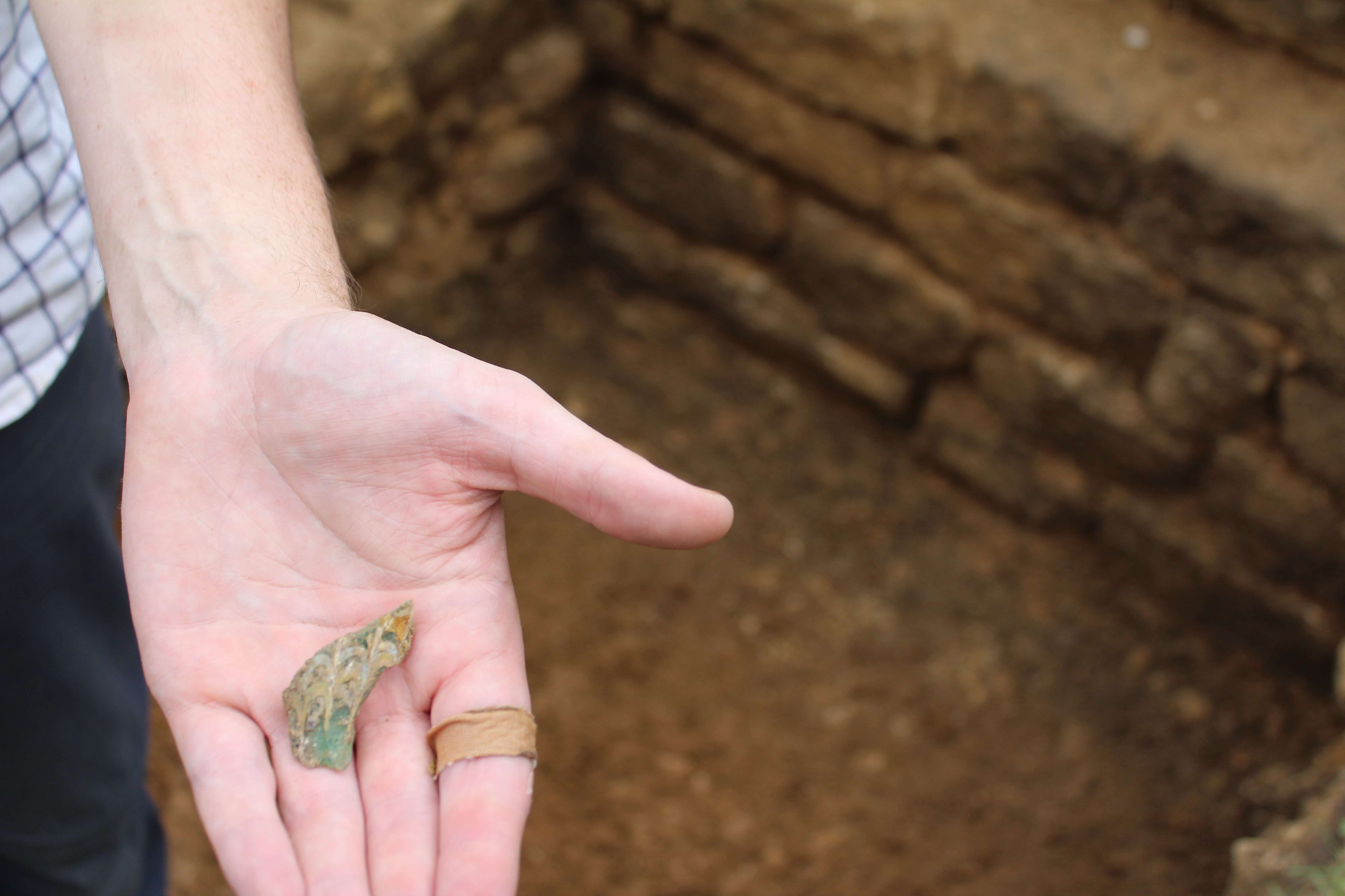
There was the bag of Francis Court Farm flint. A few good flakes and a scraper or two. Pretty average Neolithic, Bronze Age. Nothing to write home about. Any average Dorset chalkland field would have this sort of stuff..except flint is more difficult to come by in Devon so it had been traded over a distance.
Then we came to a collection from a field south of Newhall Farm. A huge amount of flint and long sinuous blades alongside spalls and microliths. This looked older… Neolithic and Mesolithic 6-10 thousand years old. What sort of site did this indicate beneath the ploughsoil?
![WP_20190506_002[1]](https://archaeologynationaltrustsw.files.wordpress.com/2019/05/wp_20190506_0021.jpg)
A concentration of microliths and blades from a field just south Newhall Farm buildings
As we looked at what had been found 25 yrs ago..it described an arc of prehistoric sites in a vale lying south east of Killerton Park and south west of Ashclyst Forest.
Then Isabel showed us another bag of finds.
‘We collected these from wheel ruts on Dolbury Hillfort’.
![WP_20190506_008[1]](https://archaeologynationaltrustsw.files.wordpress.com/2019/05/wp_20190506_0081.jpg)
The flint from Dolbury hillfort. The prepared core is the larger flint top left.
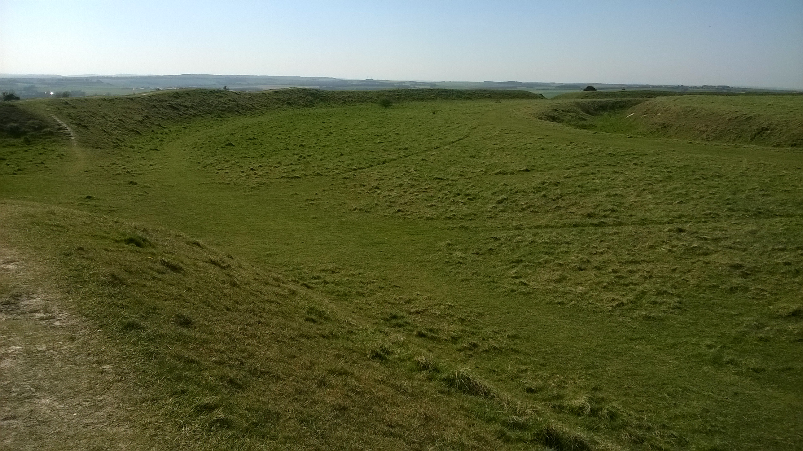
Dolbury has never been excavated and the earthworks occupy a high point.. which now overlook the park and Killerton House. The hill is an upward thrust of volcanic rock. A natural strategic location.
The flints told a new story about this place. Dolbury was thought to just date from the period 500 BC to AD 43 but these flints included a prepared core. This is something typical of the Mesolithic and the long blades and microliths were similar to those we had just seen from Newhall.
The time depth of Dolbury started to compare with the excavated Hembury hillfort which I had passed on the road that morning. No Roman fort on this hill-top though….
Then Isabel showed us an aerial photograph. It was of a field on a spur of land jutting south-east of Dolbury… just above Budlake Farm.
![WP_20190506_011[1]](https://archaeologynationaltrustsw.files.wordpress.com/2019/05/wp_20190506_0111.jpg)
The playing card shape of a Roman fort? near Budlake Farm.
The photo clearly showed a playing card shaped triple ditched enclosure of about 4 hectares. The inner ditch thickest just like the Roman fort we had excavated at Shapwick… on the Kingston Lacy Estate in Dorset.
‘Isabel, did you fieldwalk these fields?’
Bags full of red pottery were passed across the table. ‘They all look like fragments of flower pot’ Isabel said. We picked over it all and nothing obviously Roman presented itself.
![WP_20190506_003[1]](https://archaeologynationaltrustsw.files.wordpress.com/2019/05/wp_20190506_0031.jpg)
The red flower pot pottery from the ‘fort’ field.
Phil said that one of the fields had just been ploughed and harrowed. He phoned the tenant farmer to check whether it would be OK to visit.
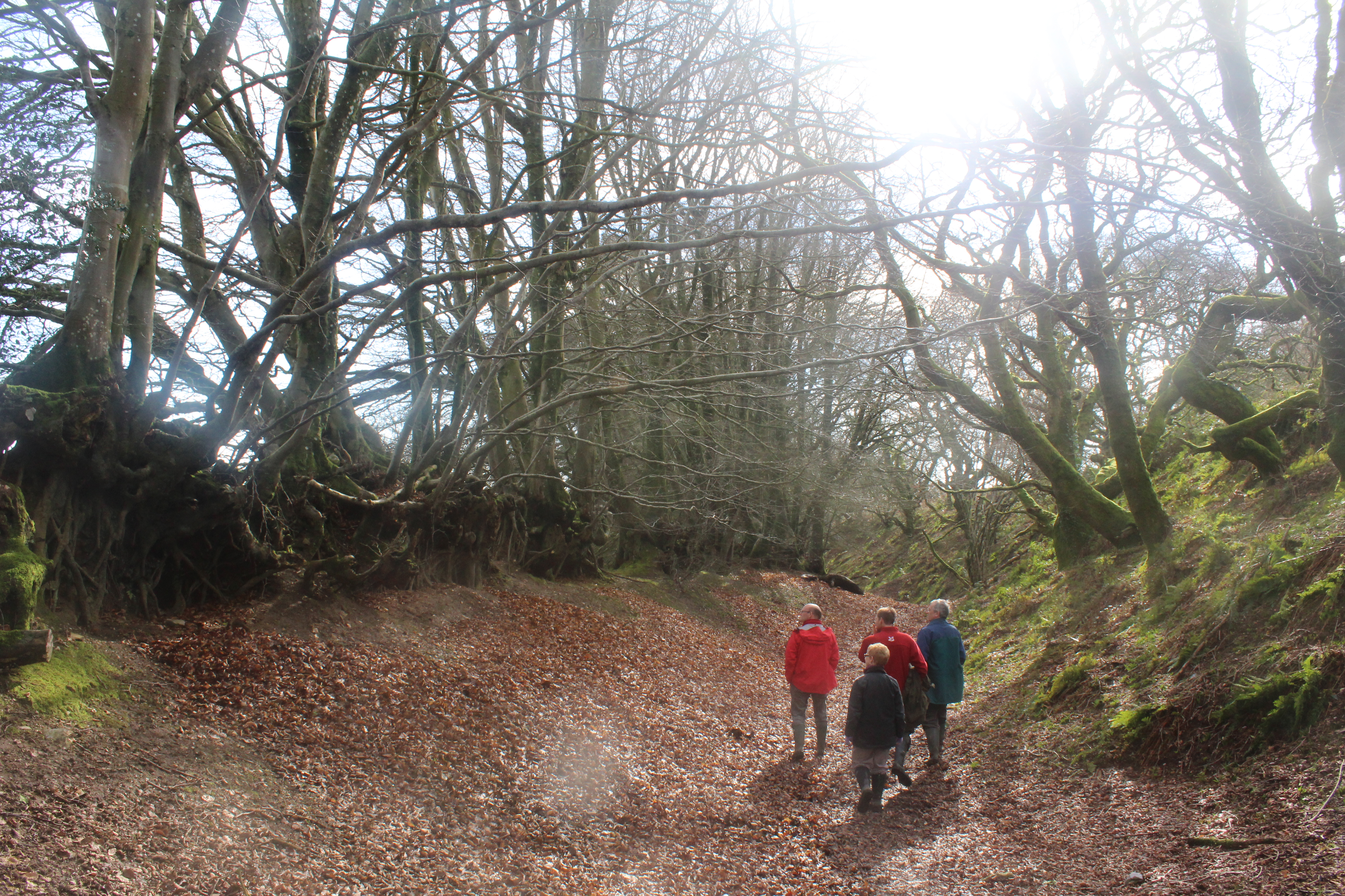
Inspired! We jumped into cars and headed out there. We parked in the yard at the NT rangers’ base, crossed the high bridge over the M5 and climbed up to the site. Clear views to the hillfort and out across the landscape. A typical broad sloping high point often chosen by Roman military commanders. I had seen this type of topographic location repeated over and over again while walking Hadrian’s Wall …and …the site of Knightshayes fort near Tiverton is much the same.
The fort site itself was in grass but the field to the east had been freshly cultivated and its red Devon soil was exposed. Heads down, the four of us walked in a row in the sunshine hoping to see something Roman. Every so often we bent to retrieve something from the ground.
Generally…just an interestingly shaped stone had caught our attention. Fi found a piece of Victorian willow pattern ware. Phil found a sherd with yellow glaze that could be 17th century. My find was a prehistoric? struck piece of chert. Nothing even vaguely Roman…. but Isabel’s aerial photo looked so good.
We parted …excited by the hidden archaeology of the Killerton Estate. Bryn will add the information to the Historic Landscape and Archaeology Survey he is writing for National Trust and I will return in August with the geophysics equipment. We needed to know what the air photograph is showing.

The view to the north east across the red Devon field we fieldwalked next to the Killerton ‘fort’ site.
Always dangerous to jump to conclusions without proper evidence…and my life is strewn with such mistakes…
…the Roman road at Dyrham which proved to be a 1970s gas pipeline is particularly embarrassing.


 On a mound top, a black silhouette appeared, stood still, gazed out and fell away.
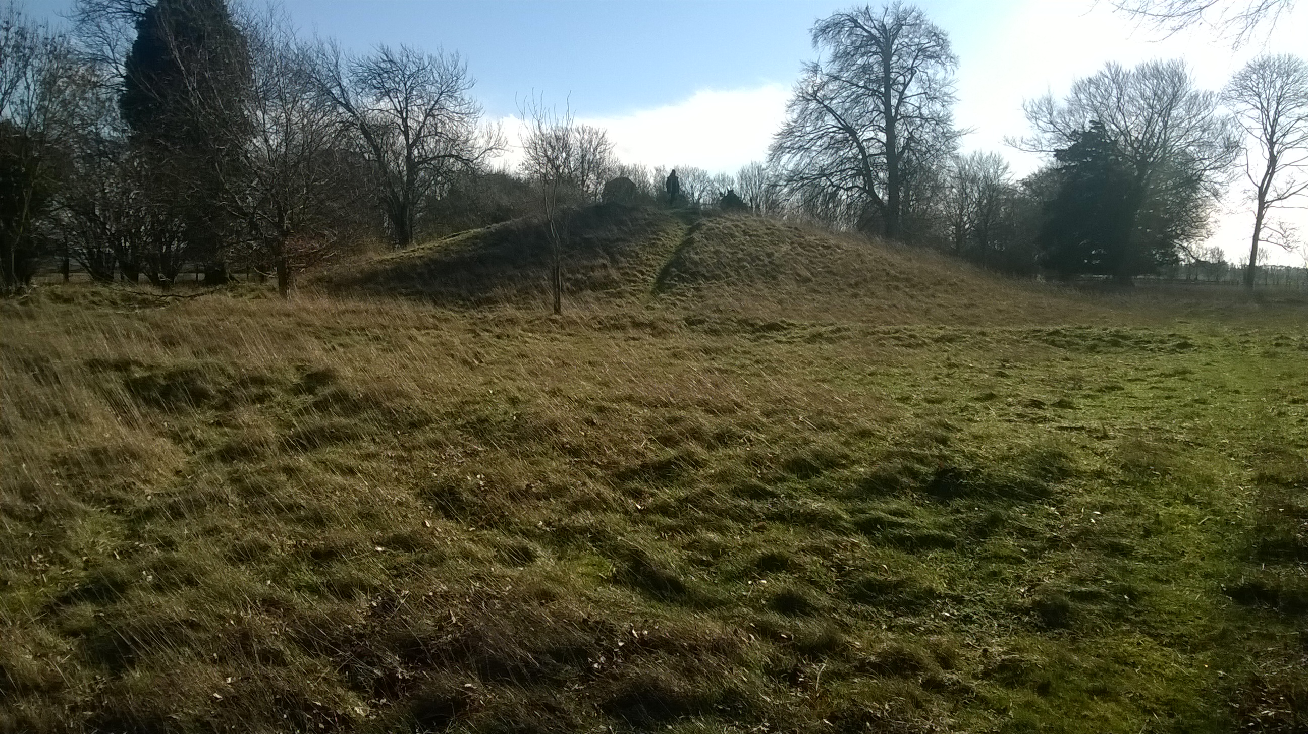


 Lambert’ s Castle after frost.