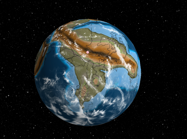
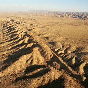
Earth has changed a lot over millions of years, but real estate is forever. That's the idea behind software engineer Ian Webster's tool which allows users to find where their home address would have been on the ancient mega-continent Pangea.
The tool shows how the Earth has changed over the last 750 million years, after visuals of 540 million years ago, 300 million years, 90 million years ago, and many demarcations in between. Users can also chose to highlight major events, like the first land animals or the first grass.
As Kottke points out, Webster has explained a bit about how he got the project going on Hacker News:
I built this by adapting GPlates (https://www.gplates.org), an academic project providing desktop software for geologists to investigate plate tectonic data. I'm amazed that geologists collected enough data to actually plot my home 750M years ago, so I thought you all would enjoy it too.
Even though plate tectonic models return precise results, you should consider the plots approximate (obviously we will never be able to prove correctness). In my tests I found that model results can vary significantly. I chose this particular model because it is widely cited and covers the greatest length of time.
The visualization itself is open source, though I have not yet cleaned up and pushed the plate tectonics integration (working on that right now): https://github.com/typpo/ancient-earth
Visualizations can be great ways to try and understand the ancient Earth, a place radically different than it appears today. Another interactive visualization can show which dinosaurs would have been roaming around your neighborhood if they were around today.
Source: Open Culture
David Grossman is a staff writer for PopularMechanics.com. He's previously written for The Verge, Rolling Stone, The New Republic and several other publications. He's based out of Brooklyn.


